Why Is Waymo's Map Only Available in Certain Cities?
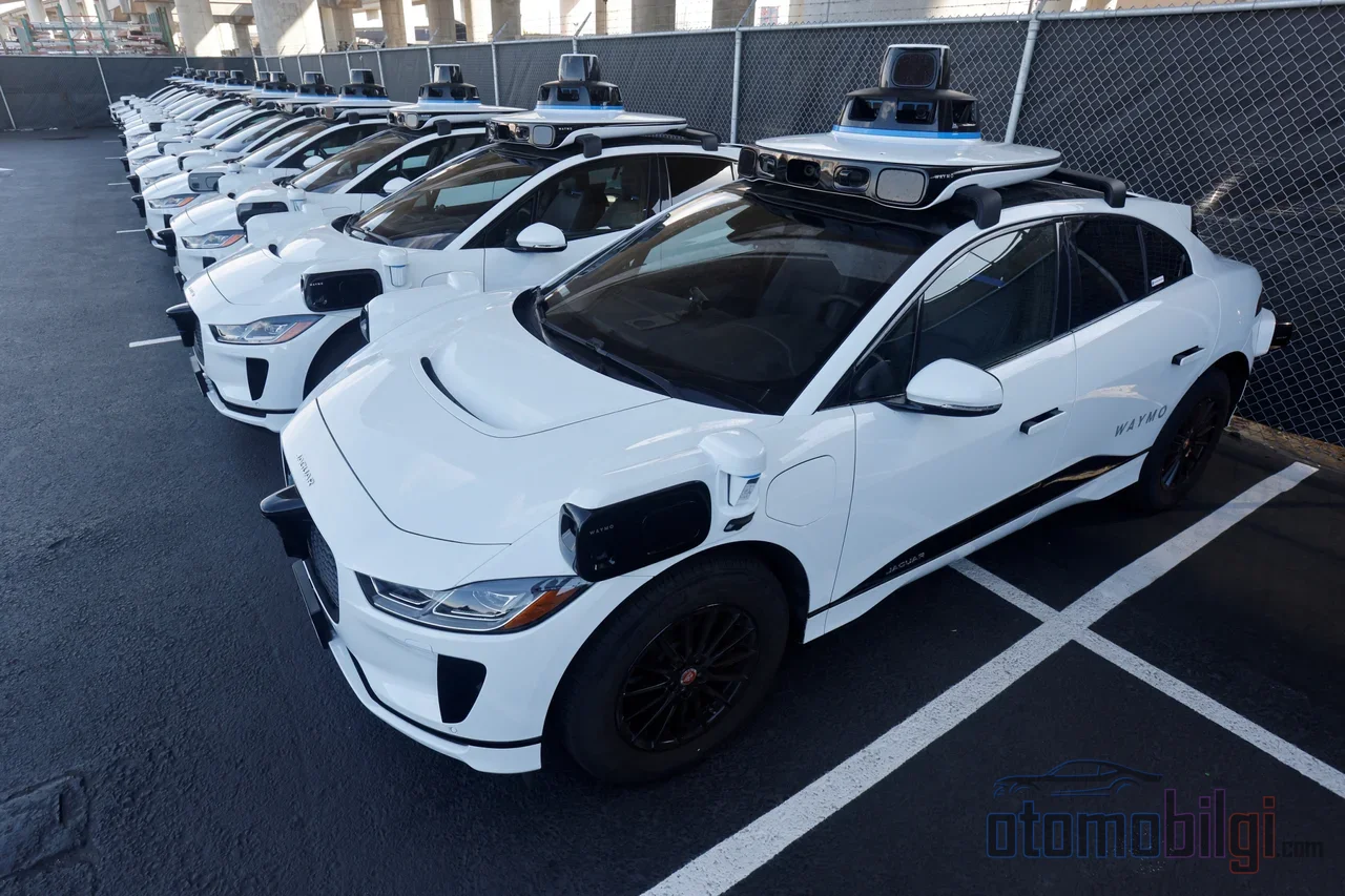
In San Francisco, you open the app on your phone and hail a driverless taxi; the car pulls up to your door, takes you to work, and no one is at the wheel. But what happens when you open the same app a few kilometers away, in an ordinary town not marked on the map? Nothing. The car simply doesn't exist. Waymo's robotaxis have one of the most advanced driving systems in the world, but this system cannot step beyond a single line. That line is called a geofence, and the logic behind it is called ODD. In this article, I'm going to take you inside those invisible walls and look around - because the question 'which cities is it in?' isn't the real question. The real question is this: why is it still limited?
What Is a Geofence? The Invisible Wall of Autonomous Vehicles
Geofence, meaning geographic restriction, is exactly what it sounds like: limiting the area a vehicle can move in with a virtual frame drawn by GPS coordinates. It's as if you draw an invisible circle on the map, and the vehicle cannot leave that circle. For robotaxi companies, this isn't just a safety measure; it's the cornerstone of the operation. The system only allows the vehicle to operate in areas where it is certain the environment has been properly mapped; everything else is off-limits.
Think of it this way: imagine that in a video game, your character can only roam in areas that have been unlocked. The dark part of the map is there, waiting, but you can't enter it. Waymo's vehicles work exactly like that. The difference is that the dark zone in a game is a design choice, while here it's a necessity born from the complexity of the real world.
ODD, or Operational Design Domain: Not Just Geography - Everything Is Limited
When I say geofence, the first thing that comes to your mind is the map, and you're right. But ODD - operational design domain (Operational Design Domain) - is a much broader concept. It covers all the conditions under which an autonomous system can safely operate: weather, light conditions, road type, speed limits... All of them are part of the domain. So a Waymo's geofence doesn't just mean 'it goes as far as this city'; it means 'it goes in this city, in these weather conditions, within these speed limits, on these road types.'
And this is where things get interesting. What happens if the vehicle is pushed beyond these boundaries? The system doesn't suddenly stop and find itself helpless. This is called a 'controlled handover': the vehicle detects the situation, safely slows down and comes to a stop, or is directed remotely. Just like a video game saying 'this area hasn't been unlocked yet' - the system doesn't crash the game, it safely returns you to the starting point.
You can see this picture clearly in SAE's autonomous driving levels. In the levels numbered from zero to five, robotaxis are mostly at level 4, that is, high automation. But level 4 is itself a concept of boundaries: specific neighborhoods, mapped routes, accepted weather conditions. Some L4 systems, for example, don't exceed a certain speed, or don't drive at all in heavy rain or snow. Full autonomy, that is, level 5. the level means working everywhere, under every condition - and there's no example of that on the roads today.
Highlights
- Waymo announced that it expanded its service area to 1,400 square miles across 11 cities in May 2026 - roughly a 27% increase compared to the previous month.
- Denver, Detroit, Las Vegas, San Diego and Washington DC are among the cities expected to arrive in 2026.
- If a Waymo vehicle is forced outside the geofence, it is remotely directed and transitions to a safe stop through a controlled handover.
- HD maps; they include details not found on regular maps, such as lanes, and cover what's beyond the sensors' line of sight.
The HD Map Issue: Why Can't They Map Every City Right Away?
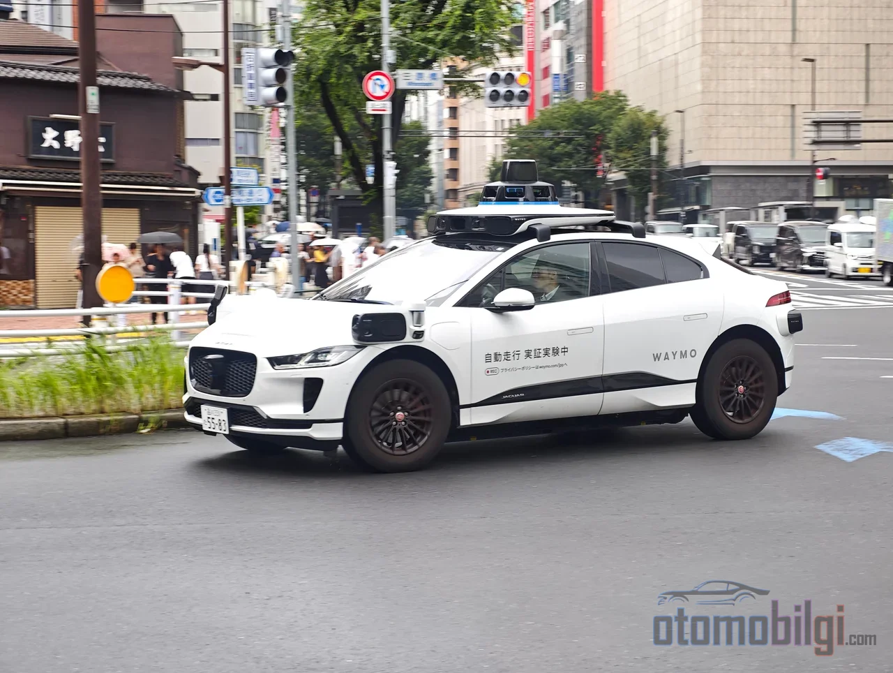
At the heart of Waymo's approach are HD, or high-definition, maps. These are a completely different universe from the navigation maps you know: lane boundaries, signage, infrastructure details - centimeter-level precision information that doesn't exist on regular maps. Using this map, the vehicle positions itself, plans its route, and even accesses information beyond the range of its sensors. When camera, lidar and radar are limited in bad weather, the HD map keeps refreshing the vehicle's memory.
The sensors and the map actually work like a duo: the sensors model the environment in real time, while the map adds context and gives the vehicle the ability to 'see beyond'. It also provides high redundancy on the safety side; the vehicle constantly compares the map against its live perception. Nice, so what's the problem? The problem is that building these maps from scratch for every city takes time and effort. Before entering a new area, Waymo creates a detailed 3D map of the region to train its artificial intelligence. So every new city carries months of preparation behind it.
Competitors diverge onto different paths at this point. Before operating in a new area, Zoox maps the region using modified Toyota Highlanders equipped with a human safety driver. Tesla, on the other hand, advocates the exact opposite philosophy: it designs the system to 'drive anywhere', avoiding heavy reliance on detailed HD maps. Another player called Wayve promises a mapless driving approach that doesn't require 3D map training in new cities. So the answer to 'why isn't it everywhere yet?' is partly an industry debate: with maps, or without maps?
Which Cities Is Waymo In, and Where Is It Expanding?
Waymo's growth is real and fast - but the picture needs to be read correctly. In May 2026, the company announced it was expanding its service area to cover more than 1,400 square miles across 11 cities in the US. That means an increase of over twenty-five percent compared to the previous month. Denver, Detroit, Las Vegas, San Diego and Washington DC are expected to join in 2026; the company has clearly stated its plan to expand to more than 20 additional cities by the end of 2026. There are also testing areas in southern states - Miami, Dallas, Houston, San Antonio and Orlando - with full service expected. The expansion to Sacramento announced in February 2026 and the Toronto plan in Canada show that the story extends beyond the US as well.
But pay attention: Even though 1,400 square miles is a huge number, it is still a drop compared to the total surface of the United States. There is also pure technical logic behind the city choice: operational areas need to be kept relatively compact, demand density kept high, and empty mileage of the vehicles limited. That is why Waymo's service does not cover every customer scenario - situations like airport trips or low-density suburban areas are still contested zones. In other words, having a point on the map does not mean the car will come to your door there.
What Happens If I Stay Outside the Boundary? Real Scenarios That Happen Outside the Geofence
Suppose you took a trip with a Waymo and your destination is just outside the geofence line. What does the vehicle do? Usually you experience no drama at all: the vehicle's internal route software makes a smart rerouting, and if the vehicle is forced outside the boundary, a remote team steps in to provide direction. The system doesn't just say "I won't cross the line"; it tries to produce a reasonable solution.
But not every scenario is this smooth. If the geofence area changes suddenly due to construction or a major accident, the vehicle can get stranded and block traffic. There has even been a real example of this: In Atlanta, a small confusion in a dead-end street led dozens of Waymo robotaxis to clog the street. While the invisible wall stands firm, everything works like clockwork; but when a crack forms in the wall, it reveals how fragile the system can be. This brings us to the real question: are these boundaries permanent or temporary?
The Gap Between Promise and Reality: Why Is 'Driving Everywhere' Still a Bit Far Off?
When autonomous driving is discussed, most people picture "taking my car and going wherever I want." In reality, today's robotaxis are, by definition, L4 systems operating in a limited operational area. The geofence is not a shortcoming, but part of the safety design: the system clearly states what it knows and what it does not know, and does not take risks outside the area it knows. Viewed from this angle, Waymo's growth city by city is not a mistake, but a method.
Still, the developments remind us that full autonomy still requires a human touch. The Jaguar I-Pace vehicles used by Waymo have no automatic door closing; a vehicle left with an open door can get stranded. It is known that in Atlanta the company paid DoorDash couriers to close doors, while in Los Angeles some users earned up to 24 dollars per trip. The world's most advanced driving system cannot close a door, and it finds the solution not in technology, but in human labor. This detail summarizes the spirit of the geofence debate: just as the technology must be ready, the environment must be ready too.
Also part of this picture is the recall of 3,871 robotaxis in June 2026 due to a software issue that caused vehicles to enter highway construction zones. Boundaries determine when and where the system will be confident; if the boundary is drawn wrong, the consequences show up directly on the road.
In short: Why Does Waymo Only Operate in Certain Cities?
The answer in one sentence is this: Waymo operates only in regions where it has mapped its vehicle's surroundings with high precision and can safely account for weather, lighting, road type and speed conditions - that is, within a defined ODD - and since each new city requires this area to be prepared from scratch, the service still covers only a small part of the world. The geofence stands like an invisible wall, but behind it lies a deliberate safety philosophy: the system doesn't venture where it doesn't know.
But will these walls eventually melt away? Judging by the pace of expansion, increasingly yes: 11 cities, 1,400 square miles, with more than 20 more cities on the way. The race between the mapped approach and the mapless vision championed by Tesla and Wayve appears to be the main dynamic that will determine the outcome. For now, the only thing you need to know is this: if a robotaxi doesn't appear on your map, the vehicle isn't bad - your neighborhood just hasn't been mapped yet. Which city do you think should be next?
Sources
- Growing to 1,400 sq mi - Waymo blog
- Waymo: Where it's available, upcoming cities - 9to5Google
- Geofences: The Invisible Walls Surrounding Autonomous Cars - Apex
- 2 New Modules: Geofence and Ackermann Configuration - Polymath Robotics
- The Why and How of Making HD Maps - Mobileye
- Debate: do self-driving cars need maps? - HERE
- SAE defines six levels of driving automation - Robohub
- Tesla vs Waymo - ThinkAutonomous
- Driverless and clueless: Waymo recalls robotaxis - Washington Times
- Waymo's Robotaxis Can't Close Their Own Doors - Yahoo Autos/Autoblog