What Is the Role of 4D Radar in Autonomous Driving?
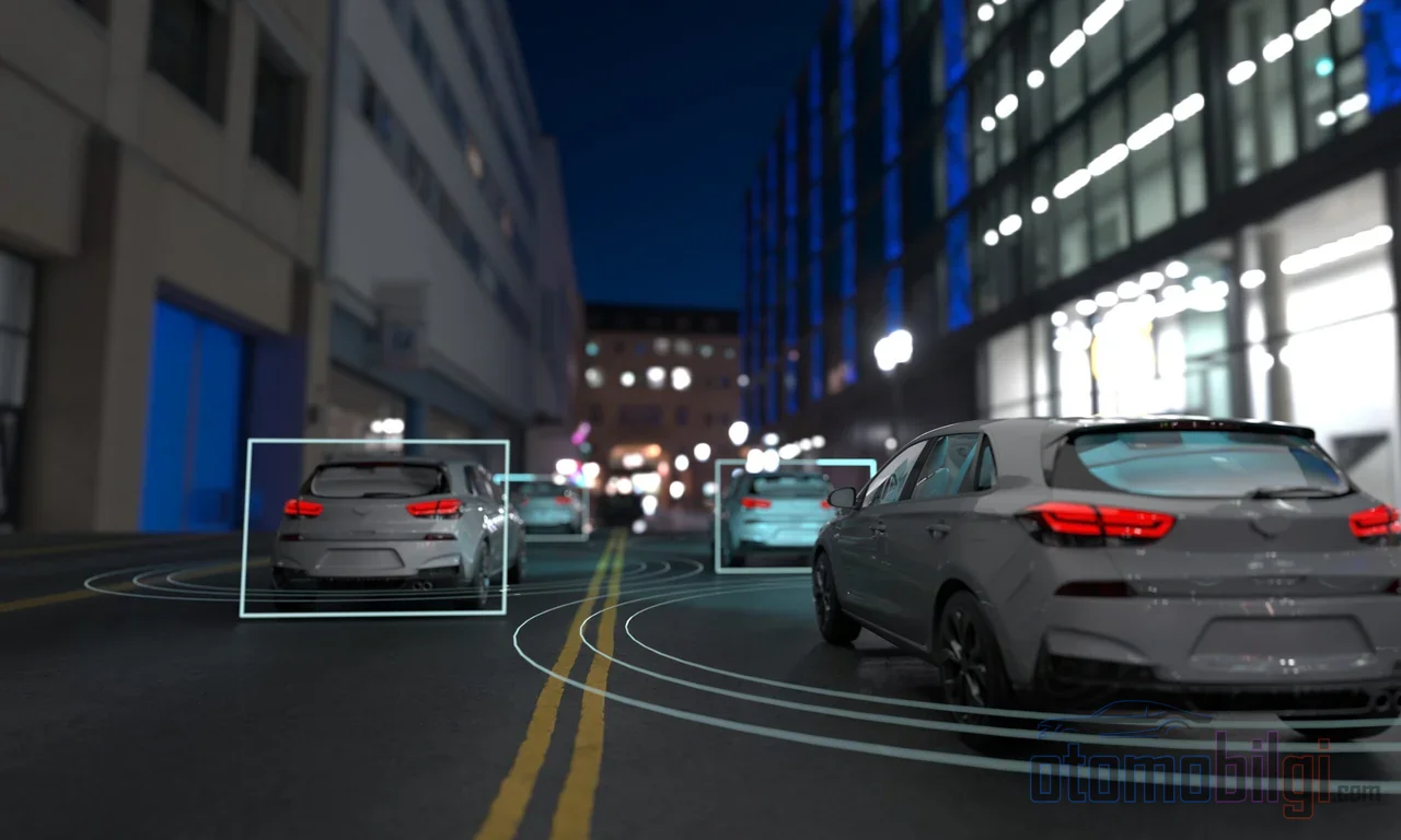
When it comes to autonomous driving, the same duo always comes to mind, right? Camera and lidar. One reads the world like a photograph, while the other scans its surroundings point by point with lasers. But what about radar? Let's be honest, when most of us hear "radar," we think of a plane in the sky and move on. Yet the most loyal, most weather-resistant friend of the autonomous systems roaming our roads today is still radar. What's more, it has evolved from the simple form of classic radar that only measures speed and distance into 4D imaging radar that can now also see the height of objects and produce point clouds. So the question is clear: What does 4D radar do in autonomous driving? Is it really a rival to lidar, or is it the quiet but indispensable supporter of the perception stack?
That's exactly where we'll start on this page. I promise that by the time you reach the end, you'll clearly see which sensor does what and why, and where the promise diverges from reality.
What Is Radar and What Does It Do in a Car?
How about a simple analogy first? Radar works like someone clapping in a dark room and figuring out where the wall is from how long the echo takes to return. It sends out a radio wave, listens for the echo bouncing back from vehicles, pedestrians, and barriers, and from the return time it measures distance, and from the shift in frequency it measures speed directly. Yes, radar is an outright champion at measuring speed; while cameras can only estimate speed, radar measures it - it doesn't guess.
Radars used in autonomous vehicles typically operate in the 77-81 GHz frequency band. The wavelength of this band is approximately 4 millimeters. And here's the critical trick: because this wavelength is larger than fog particles, dust, and light raindrops, the waves easily slip past most of them. In other words, radar keeps seeing even in the weather where the camera's and lidar's eyes are closed. Moreover, thanks to its FMCW (frequency-modulated continuous wave) architecture, it is both low-cost and durable, since it has no moving mechanical parts. Of course, there's another side to the coin: if the vehicle next to you also uses an FMCW radar on the same frequencies, interference can become inevitable. Interference-resistant coded radars, on the other hand, mean powerful processors, high power consumption, and a price tag that's not wallet-friendly.
Key Highlights
- 4D radar measures four dimensions: range, azimuth, elevation, and radial velocity.
- Radars in the 77-81 GHz band are largely unaffected by fog, dust, and light rain.
- 4D radar range reaches up to 300 m; solid-state lidar is still about 5 times better in angular resolution.
- The automotive radar market is expected to grow from USD 7.25 billion in 2026 to USD 27.03 billion in 2033.
From Classic 3D Radar to 4D Imaging Radar: The Missing Dimension Axis
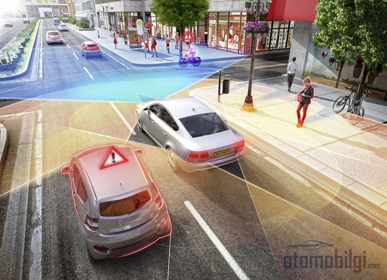
Now we come to the really interesting part. The classic radars that have been in our cars for years actually work in three dimensions: distance, speed, and horizontal angle (azimuth). That sounds sufficient, but something is missing: there is no height information. In other words, classic radar cannot tell whether the object in front of it is on the ground or in the air. A bridge beam you can pass under or a manhole cover you need to hit - in that plane, the two are the same.
4D imaging radar adds exactly that fourth dimension, the elevation angle, and everything changes. Range, azimuth, elevation and radial velocity: four measurement dimensions, which is where the name comes from. It doesn't stop there; unlike the sparse and blurry data of 3D radar, it produces a denser and higher-resolution point cloud. This point cloud is obtained by extracting the peak points in the radar's raw data cube with an algorithm called CFAR, and it can be fed to perception algorithms in a manner similar to lidar. But let's make a note here: even with the increased density, the point cloud of 4D radar is still noisier and sparser than lidar.
What Is the Point Cloud For?
The point cloud is the raw material of object classification. In other words, the vehicle can infer not only that something is there, but also what that thing looks like. For tasks like understanding whether a vehicle in traffic will pass under a bridge or crash into the bridge pier, this dimension is of the life-saving kind. This is where the door opens for 4D radar to distinguish a bridge, an overpass, or a low bump on the road. There is serious work on the data side too: While the 3D radar's data cube streams at 2.5 Gbps per second, in 4D radars this speed can reach up to 10 Gbps. That means a system that requires powerful processing behind it.
4D Radar Face to Face with Lidar and Camera: What Do the Numbers Say?
So how does the picture look when the numbers are put on the table? The following comparison is a summary table of the three sensor approaches:
| Feature | 4D Radar | Classic 3D Radar | Lidar (Solid-State) |
|---|---|---|---|
| Range | 300 m | 70 m / 250 m (depending on the model) | 200 m |
| Field of view | 120° / 30° | Wide, model-dependent | 120° / 25° |
| Angular resolution | 1° / 1° | 4° / 1.5° | 0.2° / 0.2° |
| Height (elevation) | Yes | No | Yes |
| Speed measurement | Direct Doppler | Direct Doppler | Limited |
| All weather conditions | Yes | Yes | No |
| Cost | Medium | Low | Medium-high |
The story emerging from the table is clear. Solid-state lidar is about five times better than 4D radar in angular resolution; its point cloud is denser, its map sharper. But 4D radar surpasses lidar in three areas: longer range, direct speed measurement, and working in all kinds of weather. So one is like binoculars, the other like a compass; both work, but for different jobs.
What About the Camera?
no wait, the translation is: The camera is still the best at scene understanding: traffic sign, lane marking, red light... Radar cannot read any of these. But the camera's weakness is also clear: its reliability drops significantly in rain, snow, fog and darkness. Radar, on the contrary, works calmly in these conditions; its shortcoming is the lack of detail. Each alone is incomplete, together they are strong.
Is It Really Reliable in Bad Weather? A Cold, Hard Fact
Is radar's bad-weather superiority an exaggeration or reality? Let's untangle the confusion nicely. In fog experiments, even in moderate fog where visibility drops to 300 meters, lidar suffers serious signal loss while radar is largely unaffected. In dense fog, when visibility drops to 50 meters, the difference becomes even more pronounced. In rain, the real enemy for both sensors is the false points reflected from droplets; but on radar these false observations remain almost motionless, so they barely interfere with moving object tracking. So radar's bad-weather advantage is real, not a marketing gimmick.
But let's stop and think during an ice age. In a field test, all vehicles whose sensors were covered in ice, including radar and camera-based systems, lost their function. Radar is not an absolute guarantee either; ice blocks it too. Manufacturers keeping radar as a fallback layer for bad weather is not for nothing, but no sensor is a savior on its own.
Why Don't Manufacturers Remove Radar From the Lineup?
Because pragmatism wins. In mobile perception and on the automotive side, radar is positioned as the layer that works reliably in low-visibility conditions; processor manufacturers, meanwhile, show that the position and speed of objects up to 200 meters away can be accurately extracted in environmental perception. New-generation processor chips and single-chip solutions are bringing 4D radar closer to mass production. The market seems to approve of this as well: The 4D imaging radar market is expected to grow from 4.3 billion USD in 2026 to 13.6 billion USD in 2033. Add to that the fact that in 2026 most 4D radars are designed not for fully autonomous driving but for driver assistance functions; the industry is progressing step by step.
Will Radar Replace Lidar? Here Is the Answer
We've come to the heart of the debate. In recent years, radar-lidar-camera cooperative perception experiments have shown significant resilience gains in foggy and rainy scenarios; radar stepping in when lidar is disabled has noticeably improved system performance. So radar's usefulness has been proven. But this has also been proven: Although 4D radar and solid-state lidar have similar cost and field of view, the resolution difference still favors lidar, and this difference makes a real difference in object classification. The expectation is that for safety and reliability in fully autonomous driving, both sensors will be used together; while in general-purpose, reasonably priced vehicles, radar (sometimes accompanied by solid-state lidar) comes to the fore as the main sensor.
In short, the clear answer is this: 4D radar is not a sensor replacing the camera and lidar in the autonomous driving perception stack; it is a support layer that is reliable in speed and distance measurement and stands strong in bad weather. Radar's known weaknesses should not be ignored either: because of sparse and noisy measurements, reflection-induced clutter, multipath signal effects, and the scarcity of datasets, radar algorithms are often adapted from lidar and camera models, meaning radar's true potential is still not fully utilized. That means there is much room for improvement - and in an exciting way.
Manufacturers' Different Paths: The Tesla Example
On sensor strategies, manufacturers are split into different camps. Tesla completely removed radar in 2021 and switched to a camera-only approach, citing ease of assembly, reducing supply chain dependency, and speeding up production among its reasons. However, after criticism that performance in bad weather and blind spot capability had weakened, news that radar might be added back has never stopped; some of these claims are not well sourced, so we watch with caution. On the other side, manufacturers like Rivian have announced their sensor fusion platform combining camera, radar, and lidar. History also shows that this debate is not closed.
Frequently Asked Questions About 4D Radar
What exactly are the four dimensions in 4D?
Range, azimuth (horizontal angle), elevation (height angle), and radial velocity. Classic radar lacked height in the first three; 4D radar adds it.
Is 4D radar expensive?
It is more expensive than classic 3D radar but cheaper than rotating mechanical lidars; in terms of cost it sits in the middle segment. Single-chip solutions aim to bring the price down.
Does radar work in every condition?
In fog, dust, and light rain, yes, it even excels. But if ice covers the sensor, it does not work; it is not an absolute guarantee.
My closing take: a camera that now sees as much detail as a camera, a lidar that produces maps as sharp as binoculars, and radar that refuses to give up even in a storm. The future of autonomous driving depends on how well this trio can dance. Radar may not be the star in this dance, but it does not seem like it will ever leave the stage; moreover, with 4D imaging it says more with each passing year.
Sources
- Radars for Autonomous Driving: A Review of Deep Learning Methods and Challenges
- 4D Millimeter-Wave Radar in Autonomous Driving: A Survey
- 4D Radar Meets LiDAR and Camera: Cooperative Perception
- Field Test of Automated Vehicles in Adverse Weather (USDOT)
- AIR4D Imaging Radar for Autonomous Vehicles (Bitsensing)
- The Next Generation of Active Sensors for Autonomous Driving (Mobileye)
- 4D Imaging Radar Market Size & Share Report (Grand View Research)
- LiDAR vs RADAR: How 4D Imaging and FMCW Disrupt AV Tech
- Tesla May Add Radar Back To Its Cars After All (The Drive)